World
Large laminated world wall maps – shipped worldwide
A good large world wall map changes a room instantly. Ours come fully laminated with a write-on wipe-off surface, so you can mark routes, highlight markets, annotate sales territories and erase it all when the meeting is over — without damaging the cartography underneath. Political world maps, physical relief maps, time zone editions and decorative styles, all in in multiple sizes and with optional custom logo. Every map is shipped worldwide from our factory in Barcelona — wherever you are, we’ve got you covered.
The laminated world map as a working tool
There’s a reason the laminated world map is our best-selling product: it does two jobs at once. In a boardroom, it makes strategy meetings visual and concrete — no screen, no app comes close to the clarity of standing in front of a real map with your whole team. In a school, students can write directly on the map and wipe it clean for the next class. In a reception area, it signals international reach without saying a word. Choose your size, add your logo, and we’ll ship it to your door.
World maps with custom logo – the corporate version
Many companies order their world wall map with a custom logo printed directly on the cartography: bottom corner, top margin or as a watermark. It transforms a functional map into a piece of corporate communication. Available in all sizes and finishes, shipped worldwide from our factory in Barcelona.
Showing all 15 results
-

World in french
69,50$ View map -
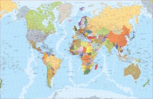
World Map english
69,50$ View map -

World Spanish
69,50$ View map -

world political
99,50$ View map -
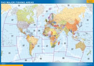
world fao fishing areas
99,50$ View map -
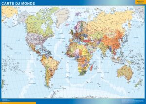
world french
99,50$ View map -
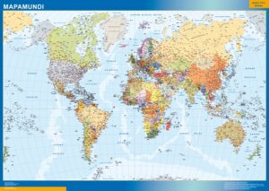
world spanish
99,50$ View map -
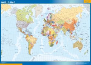
world english
99,50$ View map -
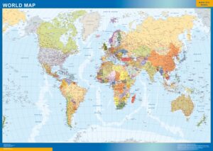
world updated
99,50$ View map -
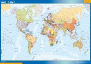
world 2019
99,50$ View map -
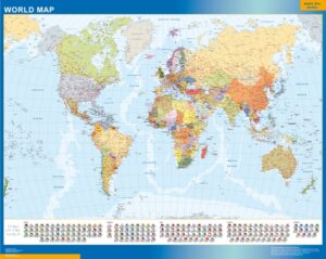
world flags
99,50$ View map -
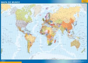
world portuguese
99,50$ View map -
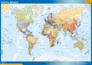
world italian
99,50$ View map -
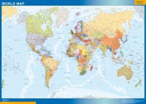
world Map
99,50$ View map -
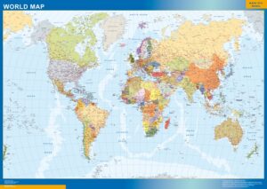
world Map
99,50$ View map
Showing all 15 results
World — what you will find here.
This page groups 15 products around World. The collection is organised as geographic wall maps, with a focus on a wall-scale view of the territory or subject represented by this collection. When subcategories exist, use them to move from a broad area into the next geographic level before opening an individual map.
The individual product title and image define the exact cartographic edition. Depending on the collection, products may represent general territory, administrative divisions, roads, postal areas, metropolitan zones or detailed cities. This structure is designed for planning, geographic reference, education and everyday consultation without forcing the visitor to search product by product.
Every map keeps its own product page and clean root URL. From there you can choose the physical format, compare paper, laminated, vinyl and ferric finishes, and add a company logo when required. The 150 cm giant format is available only with the finishes supported by that size.