Country wall maps
Laminated country wall maps – every major nation
Whatever country your business operates in, exports to, or studies, we have it as a large laminated wall map. Our country map collection covers the major nations across all continents — political maps, road maps, physical relief maps — all write-on wipe-off laminated, in multiple sizes, with optional custom logo, shipped worldwide from our factory in Barcelona.


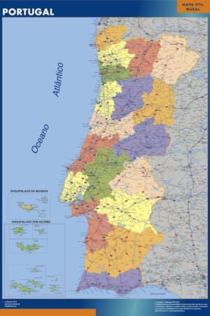
The country map that works every day in your office
Having the wall map of your key market in the meeting room turns every strategy session into something tangible: where are the customers? What does the road network look like between cities? Which region does each sales rep cover? A laminated wall map answers all of that at a glance — no loading screens, no zooming in, no fighting over which map layer to show. Write on it, update it weekly, wipe it clean. Shipped worldwide from our factory in barcelona.
Browse every country map by continent.
The complete country catalogue is grouped geographically so a visitor can move from world to continent to country without depending on the search box.
Europe 23
Explore Europe →Americas 15
Explore Americas →Asia 8
Explore Asia →Africa 13
Explore Africa →Showing 1–24 of 61 results
-

France
99,50$ View map -

Germany
99,50$ View map -

Italy
99,50$ View map -

Spain
99,50$ View map -

United Kingdom
99,50$ View map -
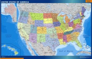
Usa
99,50$ View map -

Belgium
99,50$ View map -

Mexico
99,50$ View map -
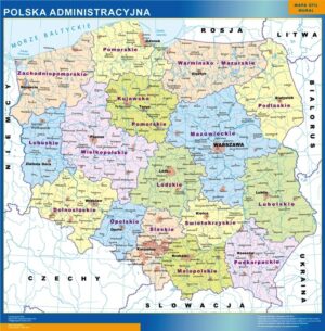
Poland
99,50$ View map -

Russia
99,50$ View map -
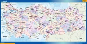
Turkey
99,50$ View map -
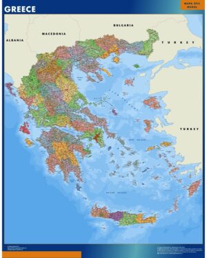
Greece
99,50$ View map -
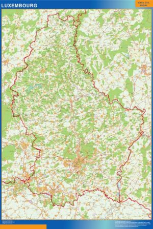
Luxembourg
99,50$ View map -
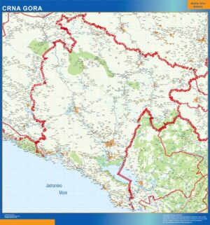
Montenegro
99,50$ View map -
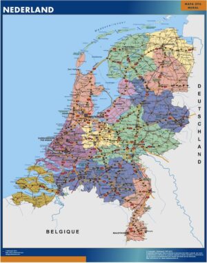
Netherlands
99,50$ View map -
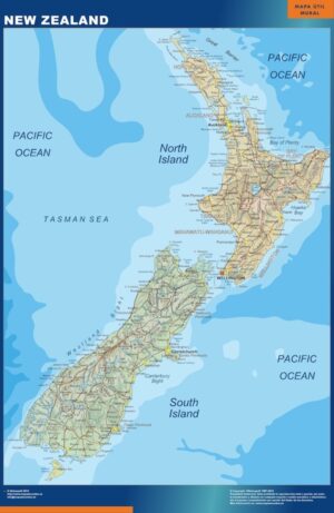
New Zealand
99,50$ View map -
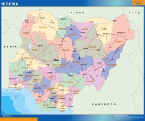
Nigeria
99,50$ View map -
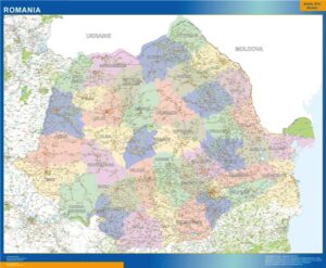
Romania
99,50$ View map -
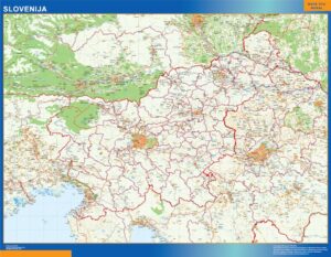
Slovenia
99,50$ View map -
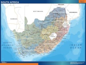
South Africa
99,50$ View map -
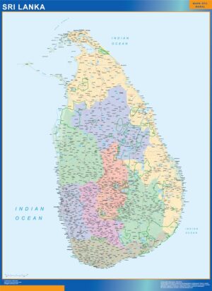
Sri Lanka
99,50$ View map -
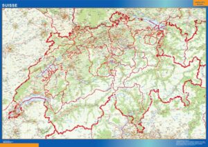
Switzerland
99,50$ View map -
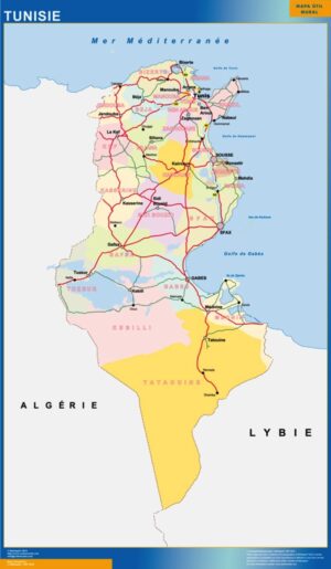
Tunis
99,50$ View map -
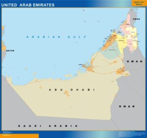
United Arab Emirates
99,50$ View map
Showing 1–24 of 61 results
Country wall maps — what you will find here.
This page groups 61 products around Country wall maps. The collection is organised as country wall maps, with a focus on national geography at a scale designed for wall use. When subcategories exist, use them to move from a broad area into the next geographic level before opening an individual map.
The individual product title and image define the exact cartographic edition. Depending on the collection, products may represent general territory, administrative divisions, roads, postal areas, metropolitan zones or detailed cities. This structure is designed for international business, education, logistics, travel and territorial planning without forcing the visitor to search product by product.
Every map keeps its own product page and clean root URL. From there you can choose the physical format, compare paper, laminated, vinyl and ferric finishes, and add a company logo when required. The 150 cm giant format is available only with the finishes supported by that size.