City maps of United Kingdom
Large laminated city maps of the UK – London, Manchester, Edinburgh
London, Manchester, Edinburgh, Birmingham, Glasgow, Liverpool and more British cities as large laminated wall maps. Streets, neighbourhoods, Underground lines and points of interest in high-resolution cartography. Write-on wipe-off, in multiple sizes, with optional custom logo, shipped worldwide from our factory in Barcelona.
The London wall map – our single best-selling city map worldwide
The large laminated London city wall map is the most popular single map in our entire catalogue. English language schools from Tokyo to São Paulo use it in class every day: neighbourhoods, the Underground, parks, iconic landmarks — all readable at wall scale, all writable with a marker, all wipeable clean for the next class. Shipped worldwide from our factory in barcelona.
Showing all 19 results
-
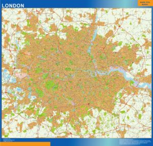
London Area
99,50$ View map -
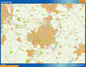
Coventry
99,50$ View map -
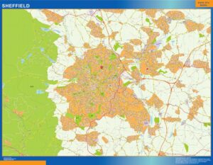
Sheffield
99,50$ View map -
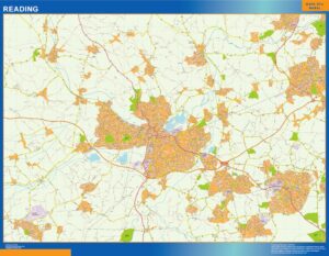
Reading
99,50$ View map -
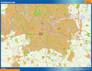
Birmingham
99,50$ View map -
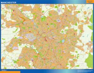
Manchester
99,50$ View map -
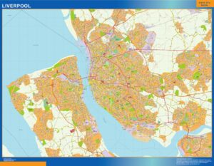
Liverpool
99,50$ View map -
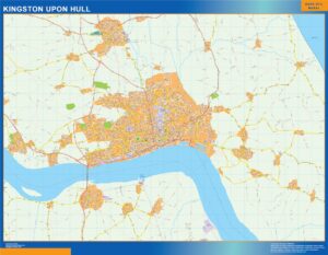
Kingston Upon Hull
99,50$ View map -
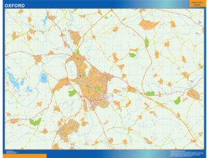
Oxford
99,50$ View map -
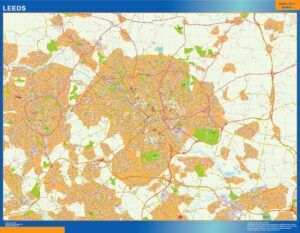
Leeds
99,50$ View map -
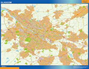
Glasgow
99,50$ View map -
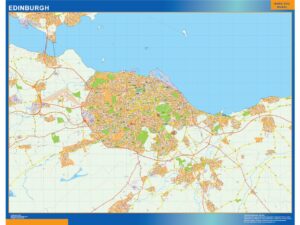
Edinburgh
99,50$ View map -
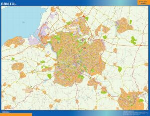
Bristol
99,50$ View map -
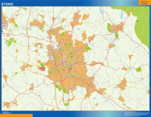
Stoke
99,50$ View map -
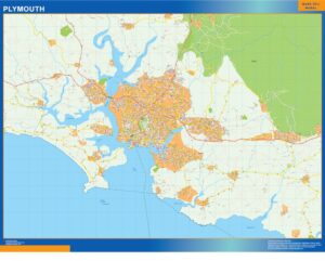
Plymouth
99,50$ View map -
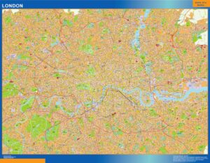
London
99,50$ View map -
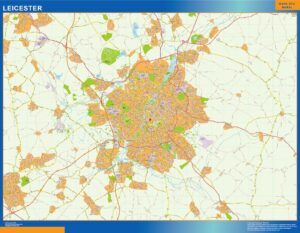
Leicester
99,50$ View map -
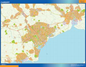
Cardiff
99,50$ View map -
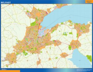
Belfast
99,50$ View map
Showing all 19 results
City maps of United Kingdom — what you will find here.
This page groups 19 products around City maps of United Kingdom. The collection is organised as city and metropolitan maps, with a focus on urban areas and their surrounding metropolitan geography. When subcategories exist, use them to move from a broad area into the next geographic level before opening an individual map.
The individual product title and image define the exact cartographic edition. Depending on the collection, products may represent general territory, administrative divisions, roads, postal areas, metropolitan zones or detailed cities. This structure is designed for city planning, sales territories, mobility, education and local orientation without forcing the visitor to search product by product.
Every map keeps its own product page and clean root URL. From there you can choose the physical format, compare paper, laminated, vinyl and ferric finishes, and add a company logo when required. The 150 cm giant format is available only with the finishes supported by that size.