Historic regional maps of France
Wall maps of France’s historic regions – the classic division
Before the 2016 territorial reform, France was divided into 22 historic regions — Brittany, Alsace, Provence, Normandy, Burgundy, Aquitaine and others — each with a deep cultural identity. Our laminated maps of France’s historic regions are popular for historical research, cultural institutions, wine businesses and anyone who works with pre-2016 French data. Write-on wipe-off, in multiple sizes, with optional custom logo, shipped worldwide from our factory in Barcelona.
The historic regions of France as a decorative and functional map
Beyond their practical uses, the historic French regions map has a particular visual and cultural appeal: the traditional regional names evoke history, gastronomy and geography in a way the new administrative divisions simply don’t. Very popular in French restaurants, wine retailers, cultural centres and as a distinctive piece of office decoration. Shipped worldwide from our factory in barcelona.
Popular places in this collection
Showing all 22 results
-
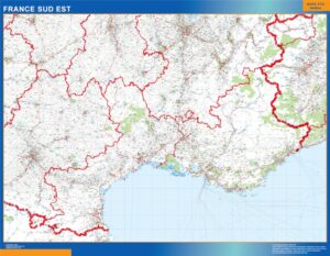
Languedoc Provence
99,50$ View map -
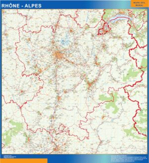
Rhone Alpes
99,50$ View map -
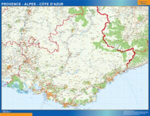
Provence Alpes Cote Azur
99,50$ View map -
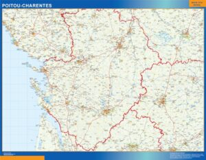
Poitou Charentes
99,50$ View map -
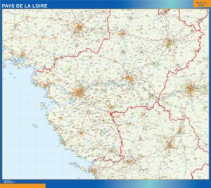
Pays La Loire
99,50$ View map -
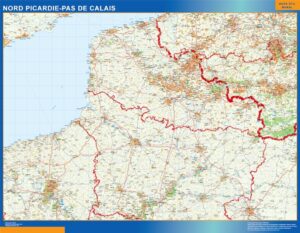
Picardie Pas Calais
99,50$ View map -
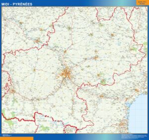
Midi Pyrenees
99,50$ View map -
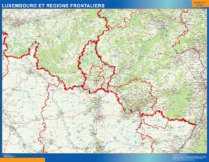
Luxembourg Regions Frontaliers
99,50$ View map -
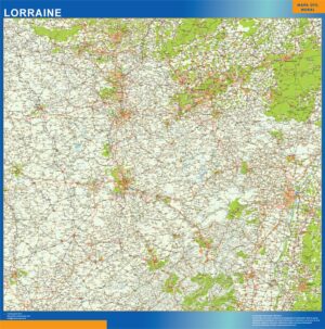
Lorraine
99,50$ View map -
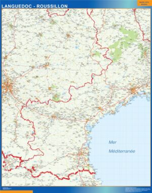
Languedoc Roussillon
99,50$ View map -
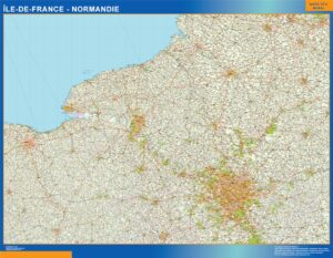
Ile France Normandie
99,50$ View map -
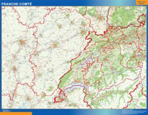
Franche Comte
99,50$ View map -
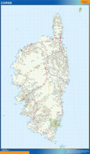
Corse
99,50$ View map -
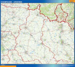
Champagne Ardenne
99,50$ View map -
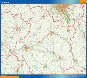
Centre
99,50$ View map -
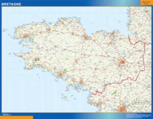
Bretagne
99,50$ View map -
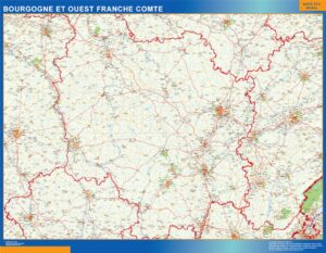
Bourgogne Franche Comte
99,50$ View map -
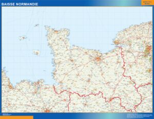
Baisse Normandie
99,50$ View map -
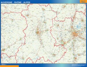
Auvergne Rhone Alpes
99,50$ View map -
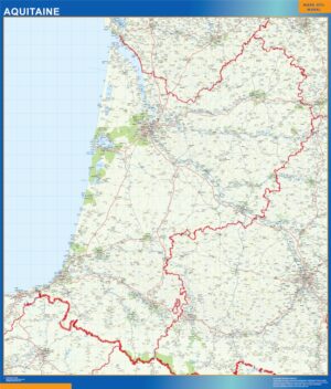
Aquitaine
99,50$ View map -
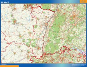
Alsace
99,50$ View map -
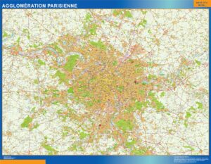
Agglomeration Parisienne
99,50$ View map
Showing all 22 results
Historic regional maps of France — what you will find here.
This page groups 22 products around Historic regional maps of France. The collection is organised as regional maps, with a focus on regional geography and administrative areas. When subcategories exist, use them to move from a broad area into the next geographic level before opening an individual map.
The individual product title and image define the exact cartographic edition. Depending on the collection, products may represent general territory, administrative divisions, roads, postal areas, metropolitan zones or detailed cities. This structure is designed for territorial planning, sales management, education and operational reference without forcing the visitor to search product by product.
Every map keeps its own product page and clean root URL. From there you can choose the physical format, compare paper, laminated, vinyl and ferric finishes, and add a company logo when required. The 150 cm giant format is available only with the finishes supported by that size.