PROFESSIONAL WALL MAP

Thailand

99,50$

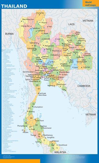
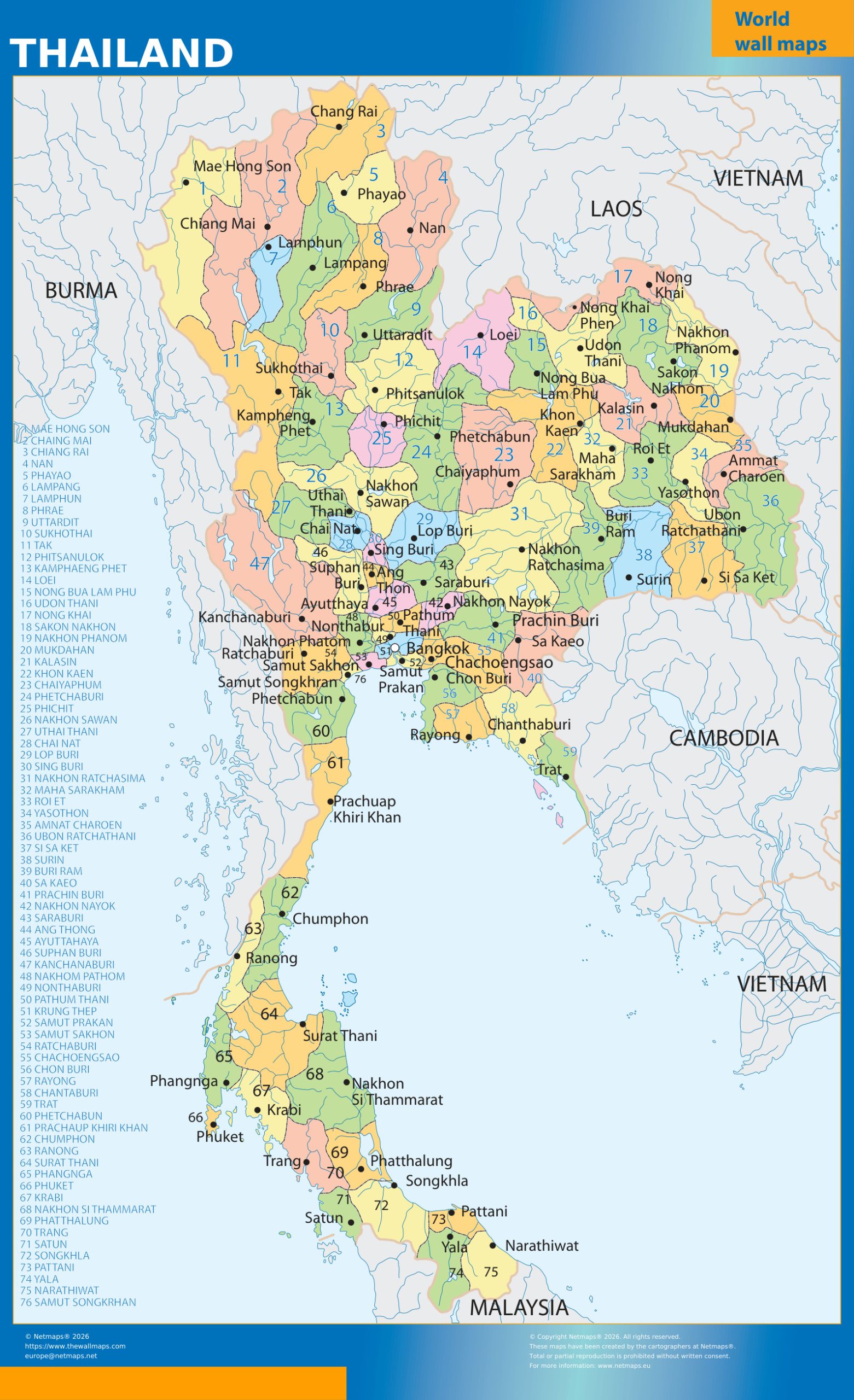
Thailand wall map showing administrative divisions and major places, available in professional wall sizes and paper, laminated, vinyl and ferric finishes.

1
Choose sizeThe complete dimensions are calculated automatically from the real map proportions.
2
Choose finish150 cm giant maps are available in paper and laminated finish.
Size92 × 150 cm
Configured total99,50$
Secure WooCommerce checkoutWorldwide UPS deliveryProduced in Europe
Categories: , Tag:

Description

Thailand wall map

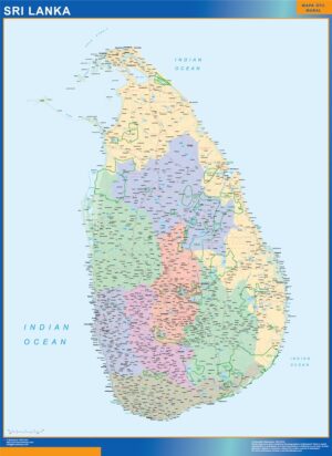
This country edition provides a clear geographic overview of Thailand and its internal administrative structure as shown in the map. Coloured administrative areas, important settlements, neighbouring territories and the principal geographic references visible in the artwork make the map easy to read at wall scale.

Thailand regions and administrative divisions

The map is designed as a practical geographic reference for offices, education, logistics, sales planning, international business and general reference. The exact boundaries, labels, cities, rivers and surrounding geography are those shown in the product image; that image is the authoritative preview of the cartographic content.

Thailand forms part of the Asia collection on TheWallMaps. The country landing links this edition with any other maps already available for the same territory, while older products remain published and unchanged.

Professional wall sizes and finishes

Choose the approved 92 cm, 105 cm or available 150 cm format. The complete finished dimensions are calculated automatically from the real proportions of this map. Available finishes are paper, double-sided laminated, vinyl and ferric material, subject to the size combinations shown in the selector. Company-logo customisation remains available as an option.
GEOGRAPHIC INDEX · THAILAND

More maps of Thailand

ABOUT THIS MAP

Thailand — map details and uses.

Map typeLarge-format geographic wall map
Formats92 cm · 105 cm · selected maps 150 cm
Best forPlanning, education, sales territories, logistics and everyday geographic reference

Thailand is a large-format geographic wall map from the Netmaps catalogue. The exact cartographic content, labels and geographic extent are the ones shown in the product image, so the customer can inspect the map before choosing the physical format.

At wall scale this edition is designed for planning, education, sales territories, logistics and everyday geographic reference. Unlike a temporary screen view, the map remains visible to the whole room and can act as a permanent geographic reference during meetings, classes or operational work.

The size selector shows the complete finished dimensions automatically, preserving the original cartographic proportions. Paper is the traditional light finish, lamination provides a write-and-wipe surface, vinyl is flexible and durable, and ferric material is compatible with magnets. Valid combinations and the complete size are saved with the WooCommerce order.