Africa wall maps
Large laminated maps of African countries
Nigeria, Kenya, South Africa, Ethiopia, Ghana, Egypt and more — all available as large laminated wall maps with current political and road cartography. Write-on wipe-off finish, in multiple sizes, with optional custom logo, shipped worldwide from our factory in Barcelona.
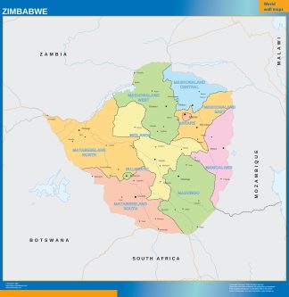
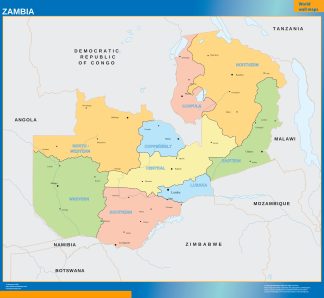
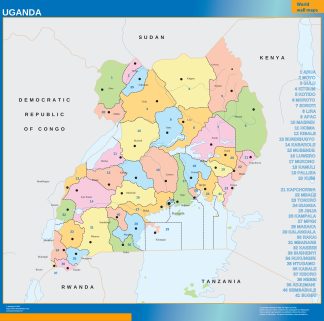
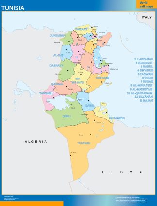
Africa country maps for NGOs and international businesses
For development organisations, international companies and diplomatic missions working in Africa, a large laminated country map is an everyday working tool. Mark project areas, update field team zones, annotate routes — and wipe it clean when the situation changes. All shipped worldwide from our factory in Barcelona.
Africa
Choose a country. Each country opens its main map first, with related maps and geographic sections underneath.
Africa country wall maps.
Each country appears once in this geographic index. Open the country to reach its main map, related national editions and any available geographic sections.
Open a country to compare its general and regional national maps, then continue to regional, provincial, municipal or city products where the catalogue contains them. This avoids duplicate country entries and keeps the geography consistent.
Individual map pages keep their own clean URLs, cartographic previews, automatic full dimensions, approved finishes and WooCommerce purchase flow.