ZIP code maps of Spain
Laminated zip code maps of Spanish cities
City street maps of the major Spanish cities with postal districts colour-coded and clearly delimited — the essential tool for direct mail marketing, last-mile delivery, insurance and any business that structures its activity by postal code. Large laminated wall maps, write-on wipe-off, in multiple sizes, with optional custom logo, shipped worldwide from our factory in Barcelona.
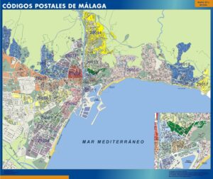
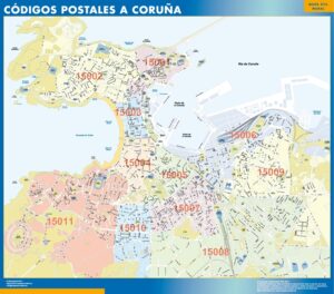
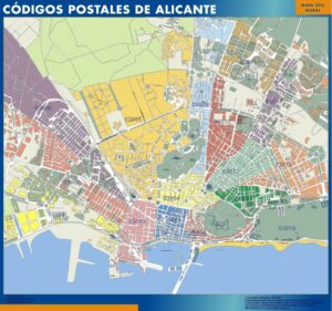
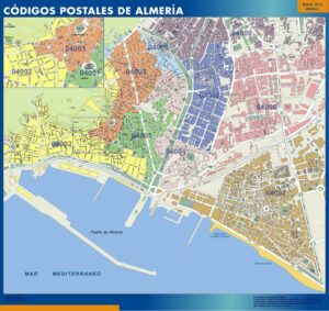
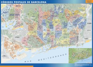
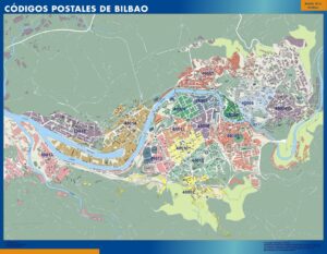
Postal code management on the wall
The zip code map of Madrid is the best-selling map in this category, followed by Barcelona, Valencia and Seville. Sales teams use them to assign territories by postcode, with each rep’s zone drawn in marker and wiped clean every quarter. Logistics teams use them to plan last-mile routes and identify coverage gaps. The laminated write-on wipe-off finish means you never need to reprint — just wipe and redraw. Shipped worldwide from our factory in barcelona.
Places
Showing 1–24 of 35 results
-
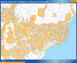
Zip codes Santa Cruz Tenerife
99,50$ View map -
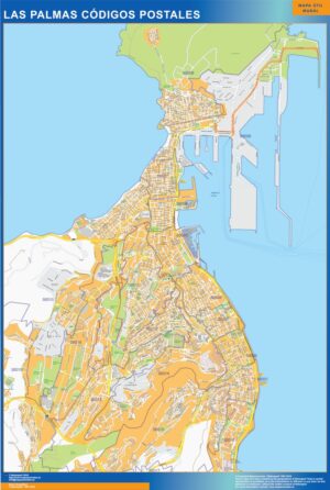
Zip codes Las Palmas
99,50$ View map -
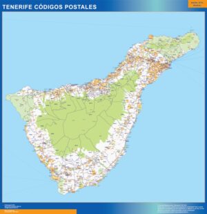
Zip codes Isla Tenerife
99,50$ View map -
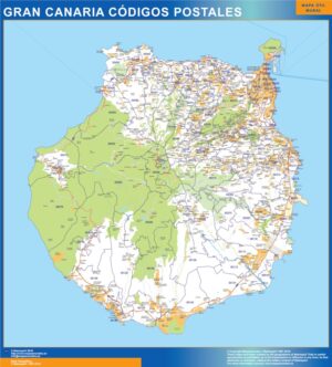
Zip codes isla Gran Canaria
99,50$ View map -
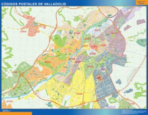
Zip codes Valladolid
99,50$ View map -
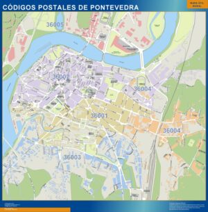
Zip codes Pontevedra
99,50$ View map -
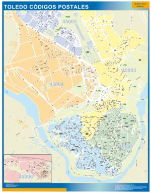
Zip codes Toledo
99,50$ View map -
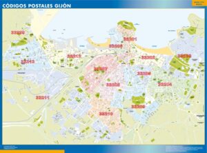
Zip codes Gijon
99,50$ View map -
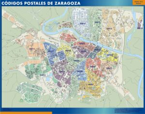
Zip codes Zaragoza
99,50$ View map -
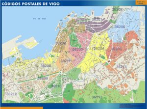
Zip codes Vigo
99,50$ View map -
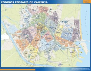
Zip codes Valencia
99,50$ View map -
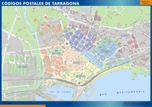
Zip codes Tarragona
99,50$ View map -
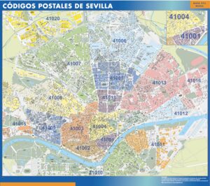
Zip codes Sevilla
99,50$ View map -
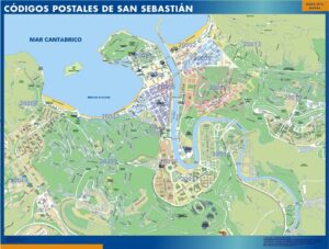
Zip codes San Sebastian
99,50$ View map -
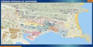
Zip codes Santander
99,50$ View map -
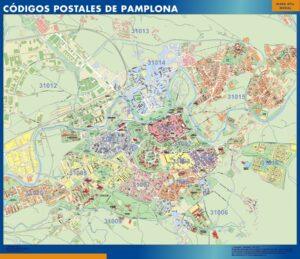
Zip codes Pamplona
99,50$ View map -
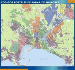
Zip codes Palma Mallorca
99,50$ View map -
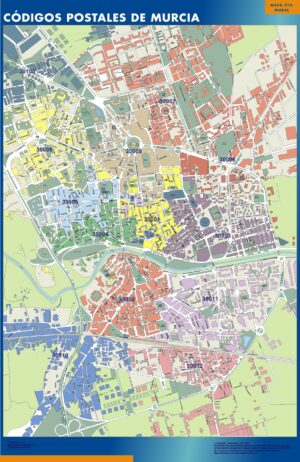
Zip codes Murcia
99,50$ View map -
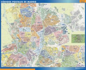
Zip codes Madrid
99,50$ View map -
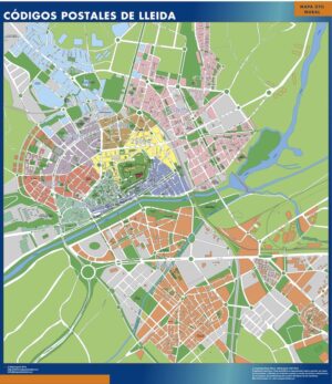
Zip codes Lleida
99,50$ View map -
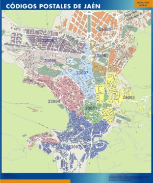
Zip codes Jaen
99,50$ View map -
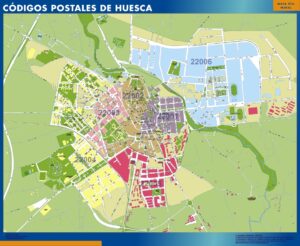
Zip codes Huesca
99,50$ View map -
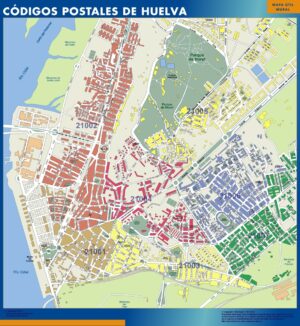
Zip codes Huelva
99,50$ View map -
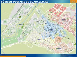
Zip codes Guadalajara
99,50$ View map
Showing 1–24 of 35 results
ZIP code maps of Spain — what you will find here.
This page groups 35 products around ZIP code maps of Spain. The collection is organised as ZIP and postal-code maps, with a focus on postal geography and code-based territorial organisation. When subcategories exist, use them to move from a broad area into the next geographic level before opening an individual map.
The individual product title and image define the exact cartographic edition. Depending on the collection, products may represent general territory, administrative divisions, roads, postal areas, metropolitan zones or detailed cities. This structure is designed for delivery planning, sales territories, logistics and administrative reference without forcing the visitor to search product by product.
Every map keeps its own product page and clean root URL. From there you can choose the physical format, compare paper, laminated, vinyl and ferric finishes, and add a company logo when required. The 150 cm giant format is available only with the finishes supported by that size.